Snow And Temperatures In The 20’s For Some Idaho Areas
We've had a lot of gorgeous sunshine the past week or two here in Idaho but it's gotten a bit colder the past couple of days. I had lunch on the patio of Bardenay yesterday and had to ask for a seat inside because even though it looked good out there, it was COLD.
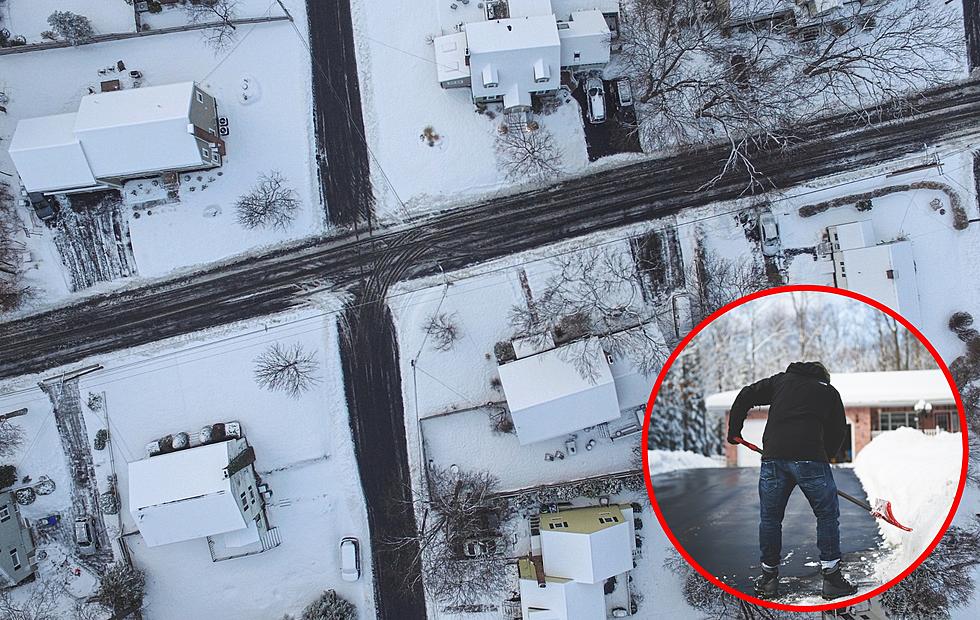
Those cold temperatures along with moisture rolling in means SNOW for some parts of Idaho with temperatures dropping into the 20's. Fortunately, we're okay here in the Boise area. East Idaho will be getting most of this storm with the best chances of snow coming tomorrow (Tuesday) afternoon.
It seems a bit crazy that we're well into Spring and weather like this keeps popping up. Approximately 1/2 of an inch of accumulation is expected in different areas. According to The Idaho State Journal, those areas could include...
- Pocatello
- Island Park
- Ashton
- Arco
- Craters of the Moon
- Tetonia
- Victor
- Driggs
The National Weather Service is calling for a FREEZE WARNING...
A freeze warning means sub-freezing temperatures are imminent or highly likely. These conditions will kill crops and other sensitive vegetation.
We're not along with this weird weather here in Idaho. Montana, Wyoming, Oregon, Washington, and Utah are all experiencing these freak Spring Freeze Storms.
If you're commuting this week into the East Idaho area please check the weather conditions before you head out and make sure you're prepared for the worst. Hope for the best and prepare for the worst right?
If anything changes or this storm starts heading into the Treasure Valley we'll keep you posted. For more specific weather forecasts and conditions check out Treasure Valley Weather HQ.
More From 104.3 Wow Country